Your Command Center, Your Choice
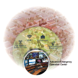
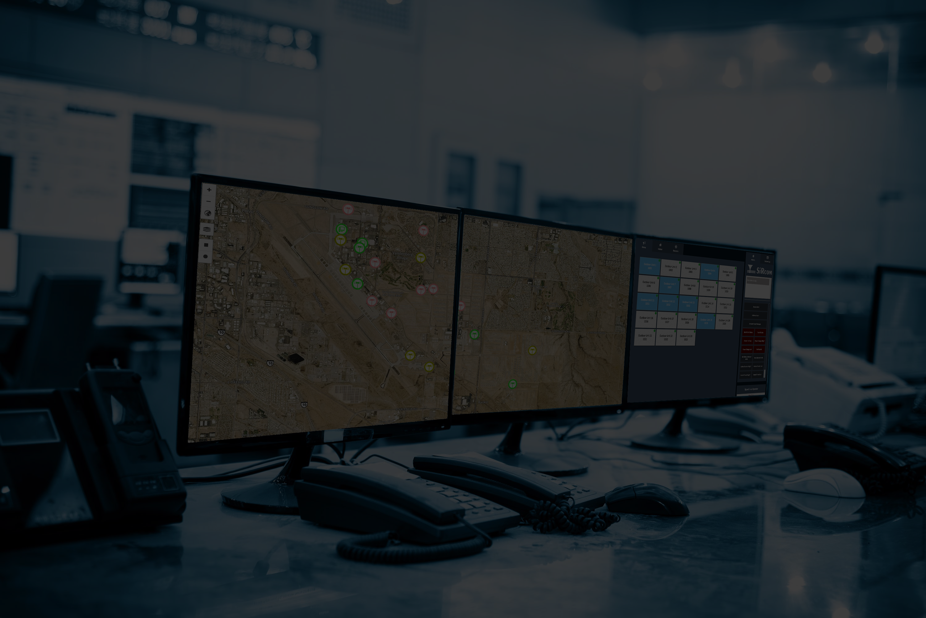
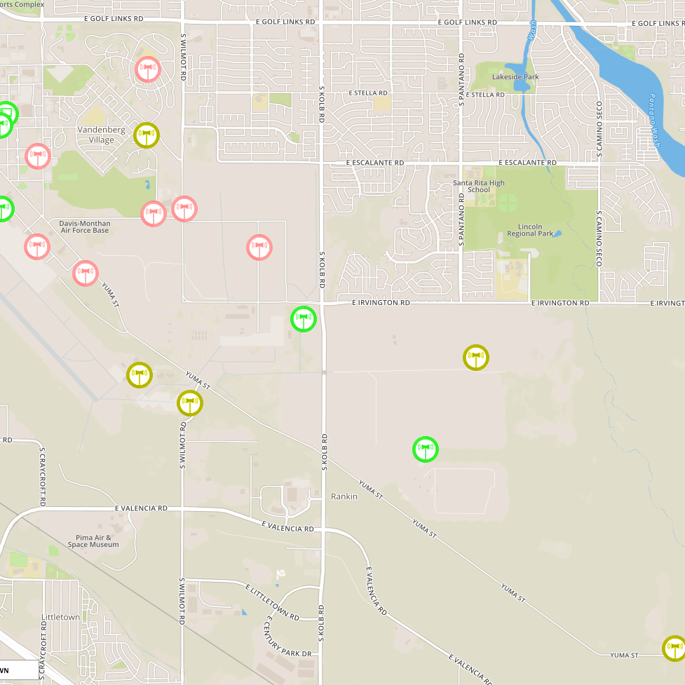
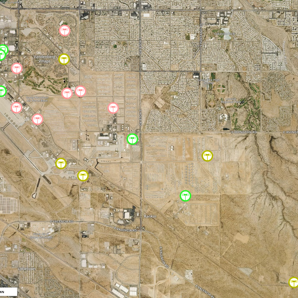
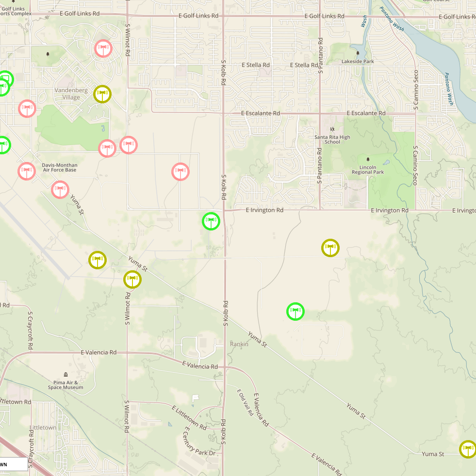
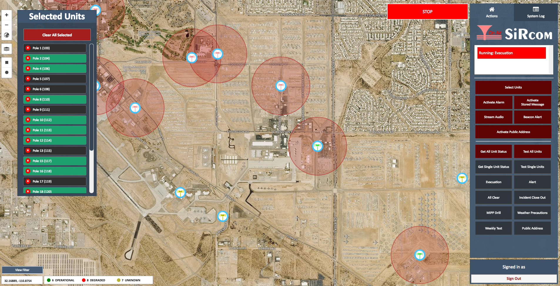
SiSA is designed to give you ultimate control of how you view information about your system. Our Graphical User Interface (GUI) provides you with detailed information about your system, exact GIS data, zoom-able maps, satellite view, and street names in multiple languages.
SiSA (SiRcom SMART Alert)

The SiSA Software is the 21st century adaptation of what a Command & Control system is supposed to be. A fast, user friendly, visually appealing system that is robust and scalable.
-
Fast: waste no time in an emergency where every second counts
-
Reliable: 99.9% up-time guaranteed, with over the air updates that are seamless
-
Satellite Maps: Offline, beautiful, detailed satellite maps that give you the clearest picture possible
-
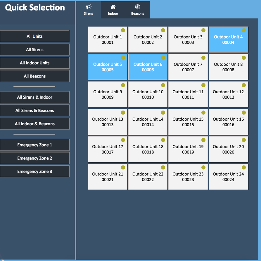
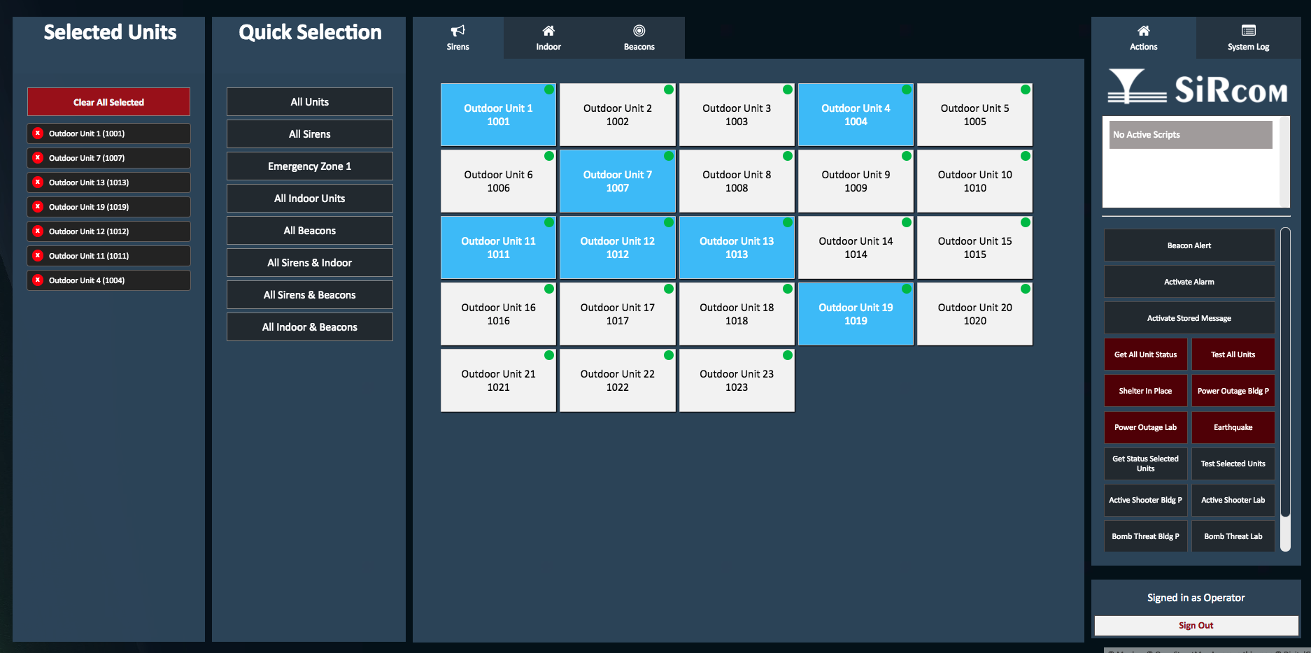
Zone-able: Broadcast to a single unit, several units, or to zones/sectors of units easily
-
Modern: Touchscreen and mobile friendly
-
Realtime: Notified on the map of exactly what sirens are activated, giving you peace of mind that the actions you took are happening.
